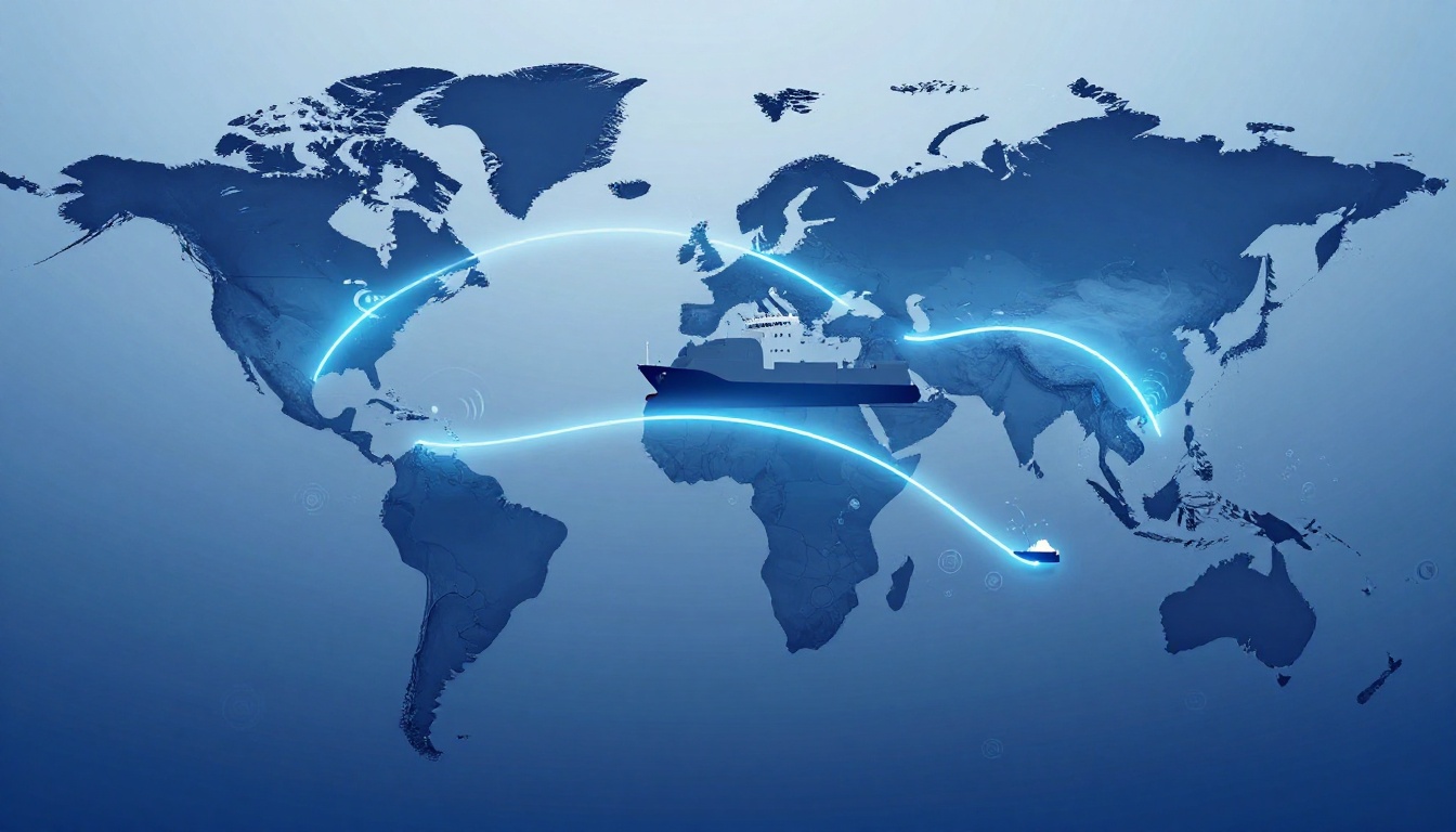
One bad route decision can cost millions in fuel, or cause a chain reaction of delays. In 2021, the Suez Canal blockage showed how fast a single chokepoint can disrupt global schedules.
Today, shipping routes planned and managed means more than picking the “shortest path.” You also have to account for storms, emissions rules, port capacity, and geopolitical risk. In 2026, climate shifts and tighter regulations make route planning feel less like guesswork and more like real-time risk control.
So how does the industry decide where ships go, and what happens when plans change mid-voyage? The core idea is simple: teams use data, run scenarios, and then keep adjusting as conditions shift.
This guide walks through the key factors behind route choices, the step-by-step planning workflow, and the tech that makes updates faster. You’ll also see how operators manage routes while ships are underway, plus the challenges and trends shaping 2026 decisions.
What Key Factors Go Into Choosing Shipping Routes?
Shipping routes aren’t picked once and forgotten. They’re planned like a moving target because the world keeps changing.
The good news is that most decisions come down to a few repeated inputs. Planners typically balance four big forces:
- Weather and ocean conditions: forecasts for storms, currents, ice, and flooding risk.
- Fuel costs and efficiency: distance, speed, “slow steaming,” and fuel stop planning.
- Rules and fees: emissions limits, port requirements, and safety constraints.
- Security and disruptions: piracy risk, war zones, canal rules, and likely delays.
A useful analogy is a road trip with a GPS and a weather app. You still choose a route, but you also plan detours, time buffers, and alternate stops.
In 2026, U.S. route planning also reflects stricter enforcement of air emissions rules when vessels call U.S. ports. Even when routes start outside the U.S., crews often plan for how quickly they’ll hit regulated areas, ports, and reporting requirements.
Meanwhile, everyday prices connect back to these choices. If routes get longer or slower, shipping capacity drops. That pushes costs toward importers, then often shows up at the retail level later.
Planning Around Weather and Ocean Conditions
Weather affects ships more than many people realize. A route that looks fine on a map can turn risky fast once waves grow or storms shift.
Planners rely on forecast models, then compare options across multiple dates. They watch wind patterns, sea state, tropical cyclone paths, and current strength. They also consider seasonal ice risk and seasonal flooding near ports.
AI and satellite data help spot issues earlier. For example, some systems use near-real-time ocean and weather inputs to recommend reroutes when conditions change faster than traditional planning cycles.
If you want a more detailed look at how companies adapt routing when storms, flooding, and unpredictable weather keep rising, see route planning for unpredictable conditions in 2026. It’s written for fleet operators, but the logic maps directly to how container and bulk planning works.
A simple real-world example: when hurricane tracks shift, operators may slow down or change course early. That can reduce storm exposure, then keep the vessel on schedule for the next port window.
Balancing Fuel Costs and Efficiency
Fuel planning often drives route decisions as much as safety does. In many cases, the “best” route is not the shortest.
Two common levers show up in 2026 planning:
Slow steaming reduces engine load and fuel burn. It can also smooth out timing to match port slots.
Speed and path optimization combines distance, currents, and expected delays. Sometimes, a slightly longer route costs less fuel because currents help or because it avoids congestion.
In many shipping networks, small changes stack up fast. A modest speed change changes fuel use per mile, which changes total voyage cost. Then it affects whether the vessel arrives on time.
Some research summaries also tie route and voyage planning to emissions and fuel burn modeling. If you want a deeper technical view of how routing ties to fuel consumption and emissions predictions, check optimizing ship voyages and emissions prediction. It’s a research review, but it helps explain why planning software focuses on more than distance.
For 2026, fuel cost pressure remains a big factor. When prices rise, slow steaming and smarter routing can protect margins. When prices fall, speed and schedule reliability might matter more.
Following Regulations and Avoiding Risks
Regulations and risk can turn a “normal” voyage into a high-stakes reroute.
On the emissions side, many decisions reflect global rules under IMO MARPOL Annex VI, plus how those rules are enforced by ports. U.S. port calls also reflect safety and compliance expectations that affect where ships can operate and how they must document operational details.
Then there are fees. Ports may charge differently based on vessel type, schedules, and service limits. That pushes planning toward routes that keep you inside realistic turnaround windows.
Now add security. In 2026, disruptions around the Middle East keep influencing decisions. Realtime reporting has noted major route changes linked to tensions affecting shipping near key corridors like the Strait of Hormuz and the wider region. Some lines have paused bookings, while others restrict cargo categories.
Piracy and conflict risk in hotspot areas, such as the Red Sea corridor, can also force detours. Those detours can add days, which changes fuel burn and shifts port-slot demand.
And even when conditions ease, capacity can swing fast. For example, when the Suez Canal reopens after disruptions, some carriers plan to return to the canal because it’s shorter. At the same time, more ships competing for space can change pricing quickly, so shippers can’t assume stability.
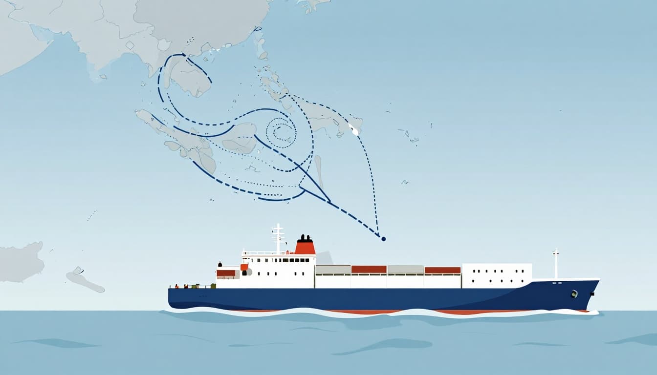
The Step-by-Step Process of Planning a Shipping Route
Route planning follows a workflow that looks steady on paper, but runs into constant “what if” moments in real life. Most teams still follow a sequence that reduces chaos.
First, planners gather voyage requirements. Next, they model risks. Then they optimize cost and schedule using software. After that, they test scenarios. Finally, they book partners and lock in contingency options.
Here’s how it typically goes in 2026.
Gathering Essential Data and Setting Goals
This part starts with the cargo and the ship. Planners collect:
- Cargo type and volume (containers, reefer, bulk, hazardous goods).
- Pickup and delivery deadlines (including constraints like production cutoffs).
- Vessel specs (speed range, fuel type, draft limits).
- Port constraints (terminal windows, cutoffs, expected congestion).
Goals then get defined. Is on-time delivery the top priority, or is cost control more important? Do you need the fastest route even if it costs more fuel? Or can you slow down and reduce burn?
Planners also set decision rules. For example, they might allow one detour but not two, or they might set a maximum acceptable delay before they switch carriers.
Assessing Risks and Building Backup Plans
Risk maps drive the next decisions. Planners model where problems could appear, then they build backups.
They usually scan:
- Weather risk along the full path.
- Ocean constraints like currents and ice season windows.
- Piracy and security areas that affect insurance and schedule reliability.
- Geopolitical friction that can change port operations fast.
Then they ask: what if the forecast changes by 24 to 48 hours? What if a port backs up?
In 2026, operators often plan multiple route variants. That matters because capacity is uneven. Some lanes run tight after holidays and service changes, while other lanes suddenly open up.
A smart planning team treats backups as part of the plan, not as an emergency reaction.
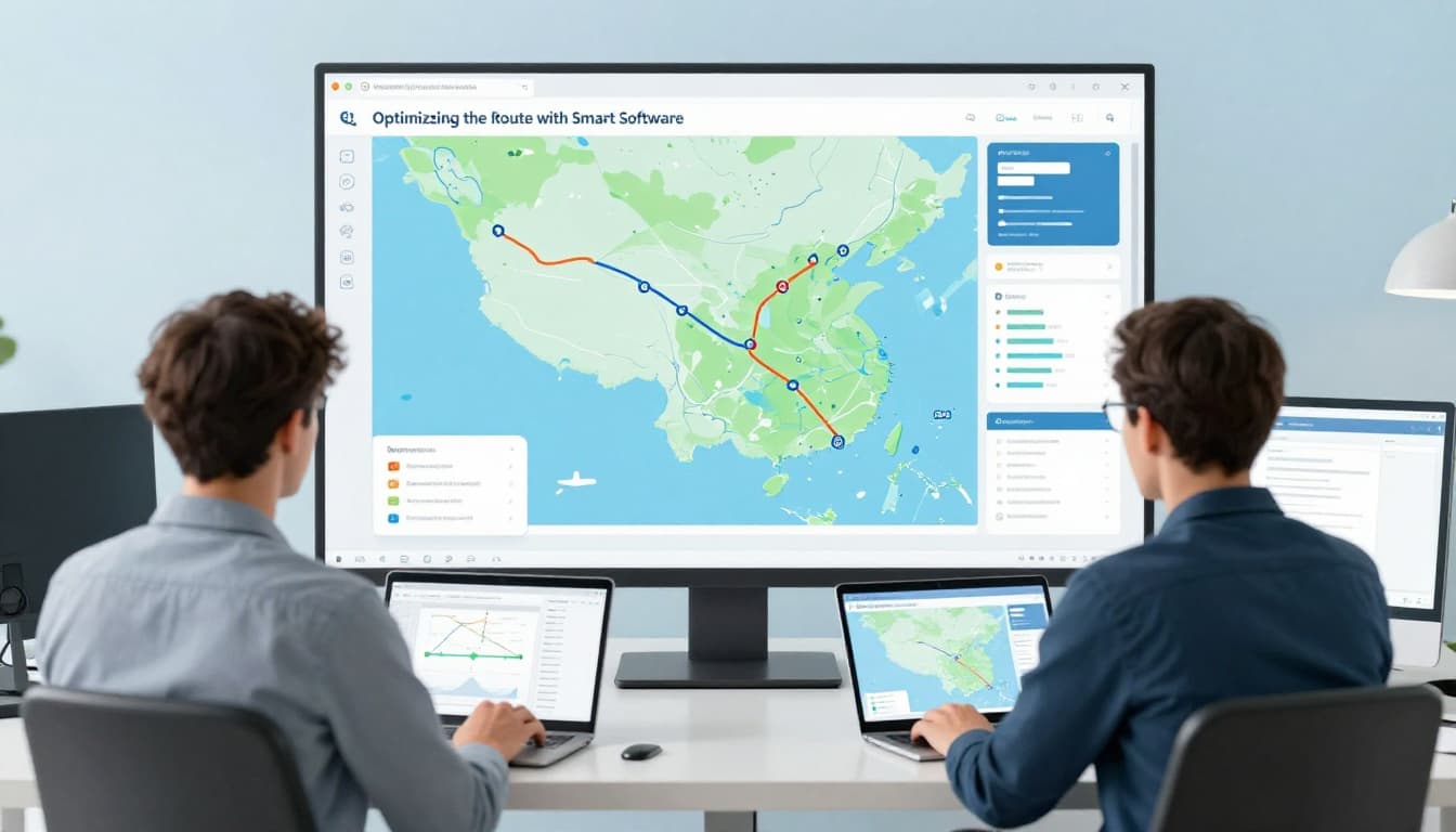
Optimizing the Route with Smart Software
Once the data and risk inputs are ready, route optimization software runs scenarios. It compares options across fuel use, travel time, and expected delays.
Many systems also incorporate constraints like:
- expected port call times
- fuel stop availability
- speed limits in certain areas
- likely berth scheduling windows
The result is often a “shortlist” of workable routes. Teams then pick the one that best matches the plan goals.
Some large carriers now test AI-powered routing approaches using real-time oceanographic data and weather forecasting. For example, Maersk has launched AI-powered vessel routing work aimed at reducing emissions and improving efficiency, as covered by Maersk’s AI-powered routing platform coverage.
In practical terms, the value comes from faster tradeoffs. Instead of rerouting from scratch, the system helps teams compare near-term options quickly.
Technologies That Make Route Planning Smarter in 2026
Tech doesn’t replace human judgment. It speeds up the “yes, but” part of decisions.
In 2026, route planning tools focus on live tracking, better forecasting, and improved scenario testing. That’s why you’ll see more AIS, more AI predictions, and more satellite coverage.
Also, AI adoption keeps spreading through supply chain apps. Gartner projections have been cited widely in industry coverage, including expectations that AI shows up in over 75% of commercial supply chain applications by 2026 (as referenced in route planning for unpredictable conditions in 2026).
AIS: The GPS for Ships
AIS (Automatic Identification System) broadcasts each vessel’s position, speed, and course. Ports, carriers, and planners use that data to reduce uncertainty.
In day-to-day operations, AIS helps teams:
- confirm where a ship really is
- spot slowdowns earlier
- coordinate arrivals so terminals can plan labor and equipment
It also helps avoid collisions and reduce traffic bottlenecks. That matters because even small arrival shifts can strain berth schedules.
AI and Advanced Software Tools
AI adds a new layer: it predicts outcomes. Instead of just mapping a route, tools forecast how the route might behave under changing conditions.
For example, AI models can flag when weather risk rises along a path. They can also estimate fuel impacts of speed changes, then suggest alternatives that keep costs under control.
Some tools connect routing logic to load and schedule planning. That means route decisions may also account for vessel rotation plans, not just the one voyage in front of you.
Satellites Watching from Above
Satellites fill the gaps that ship sensors and local forecasts can’t always cover. They help monitor:
- storm systems and cloud patterns
- sea ice and seasonal changes
- shipping density and traffic patterns
In the Arctic context, satellite monitoring can reveal openings as ice shifts. At the same time, planners must consider new flood risk near coasts as weather patterns change.
Route planning in 2026 often treats satellites like early warning lights. They don’t drive the ship, but they influence when humans reroute.
Managing Routes in Real Time Once Ships Are Underway
Planning matters, but real-time management decides whether plans hold.
Once ships leave port, teams track the voyage with live updates. They watch for:
- storms that suddenly intensify
- port congestion and berth delays
- speed changes due to weather or engine limits
- cargo readiness and pickup constraints at arrival
When conditions shift, planners run quick reroutes. The goal is not to “win” every minute. The goal is to avoid bigger delays later.
Collaboration also matters. Carriers, terminal operators, freight forwarders, and cargo owners coordinate because one missed window can affect the next port in rotation.
Real-world impacts show up in 2026 reporting about U.S. port processing. For example, import containers at major U.S. ports have averaged about 3.33 days to process, and exports in Houston about 5.14 days in one recent timeframe. Faster processing helps schedules, but only if the rest of the network stays stable.
Also, berth scheduling often needs more than simple “ETA math.” That’s why some systems connect AIS data to predictive berth feasibility. Portchain, for example, has described a “Sailing Predictor” focused on real-time AIS for berth planning in its Portchain’s Sailing Predictor real-time AIS overview.
Overcoming Challenges and Emerging Trends in Shipping
Shipping routes get harder to manage as the number of shocks increases. Climate, politics, and cyber risk all show up in route planning today.
Climate change shifts routes and timing
More intense storms can push more detours. Warmer conditions can change currents and sea state patterns. Ice seasons may start and end differently near polar routes.
Some planning teams now treat “seasonal windows” differently. Instead of relying on old rules of thumb, they adjust more often based on current satellite and forecast data.
Geopolitics can change routes overnight
Geopolitical risk can affect booking rules, cargo restrictions, and insurance outcomes. In 2026 reporting, disruptions tied to tensions near major corridors have led lines to stop new bookings, suspend bookings for certain countries, or restrict dangerous goods cargo.
When that happens, route planning becomes a balancing act between safety and cost. Detours add days. That means terminals see new demand patterns. It also means other lanes can get tighter.
Even when a route opens, it can fill quickly. For example, the Suez Canal reopening after long closures has been discussed in industry coverage. That can shorten voyages, but the sudden capacity return can also affect pricing.
Cyber threats add another risk layer
Route management depends on data flows. If systems get attacked, decisions get delayed.
Cyber threats also affect partner networks, not just a single company. If an operator can’t pull live data or update ETAs, it slows down coordination.
For a closer look at how AI fits into maritime cybersecurity concerns, see maritime cybersecurity AI discussion.
Trends that shape future route planning
A few trends keep showing up in 2026 planning:
- Mixed routing: sea plus rail or truck legs to reduce exposure to one choke point.
- Nearshore production: factories closer to demand to buffer shipping volatility.
- More AI everywhere: predictions for weather, fuel, and congestion, plus faster scenario testing.
Carriers that invest in these patterns tend to handle disruptions with less drama. They do reroutes, but they do them earlier, with clearer options.
Conclusion
Shipping routes planned and managed in 2026 is all about controlled choices under pressure. Teams use forecasts, fuel models, and rule checks to build routes that fit both cost and safety.
Then they manage those routes in real time, using AIS and smarter software. When conditions change, they reroute faster instead of waiting for delays to stack up.
If you work in logistics, procurement, or planning, think about one question: how many backup routes do you truly have, not just on paper?
The next time you see a delay in a tracking app, remember the real story. It’s usually a route plan, a forecast, and a set of fast decisions happening behind the scenes, all while sustainability pressure keeps rising.